Cart
0
Product
Products
0 Product
No products
0.00 €
Total (excl. tax)
* Prices may vary depending on your country.
* An additional contribution can be added at the time of payment.
Product successfully added to your shopping cart
quantity
Total (excl. tax)
There are 0 items in your cart. There is 1 item in your cart.
Total (excl. tax)
Total shipping (tax incl.)
Free shipping!
tax
0,00 €
Total (excl. tax)
Product successfully added to your shopping cart
quantity
Total (excl. tax)
There are 0 items in your cart. There is 1 item in your cart.
Total products (tax incl.)
Total shipping (tax incl.)
Free shipping!
tax
0,00 €
Total (excl. tax)
Categories
New products
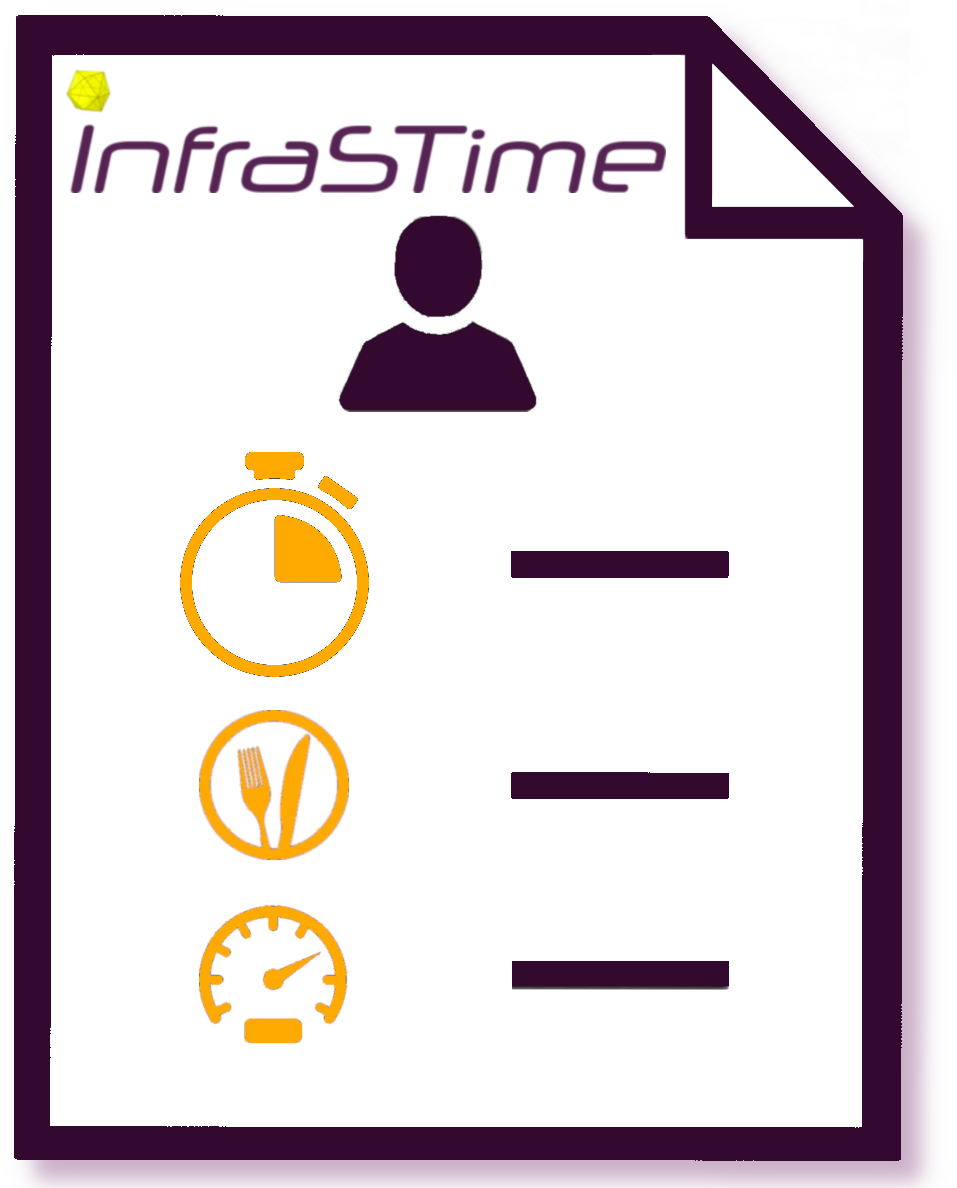
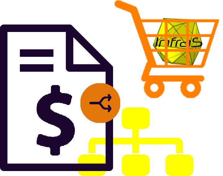
InfraSTime
c5201d20191213233606
InfraSTime simplifies time tracking on project tasks and professional expenses. It enhances project management by offering easy access for time entry, clear tracking of time spent on tasks, observation recording, and the creation of expense reports with a simple checkbox
|
|
More info...
 |
 |
|
 English /
  Spanish /
  French
 =>
=>  )
) ) if needed (from the module configuration page)
OTHER MODULES YOU MIGHT BE INTERESTED IN |
|||||||||||||||||||||||||||||
|
|


If you think this module is a fork of another one (published after the first one) or violates some terms or conditions of use (for users or vendors), you can make a report at dolistore@dolibarr.org